Guidebook with maps/step-by-step
1- Head towards the town hall, located in the former presbytery. On your right, you’ll see the sign marking the start of the trail. Go down the path between the houses. At the stream, take the path to the left that joins the road.
2- On the road, turn right, cross the bridge, and continue straight towards Mirepoix.
3- At the village exit, take the dirt road to the left, called Chemin des Vignasses, for about 2 km.
4- Turn right at the intersection with the road, then right again just before the hamlet of Cartiès.
5- Follow the main path that goes uphill and then downhill toward Saint-Julien de Gras Capou.
6- In the village, turn right onto the descending road. At the intersection, turn left towards Mirepoix for just over 600 meters.
7- Leave the road and take the steep path uphill on your right. After about 400 meters, take the path to the right that leads to Troye d’Ariège.
8- In Troye, keep going straight, due south. You’ll pass a calvary, the path to the Laouzado spring, and a small airfield before reaching the hamlet of St-Paul about 2 km further.
9- In St-Paul, turn right to rejoin the road, passing through the hamlet of Gabach on the way back to Limbrassac.
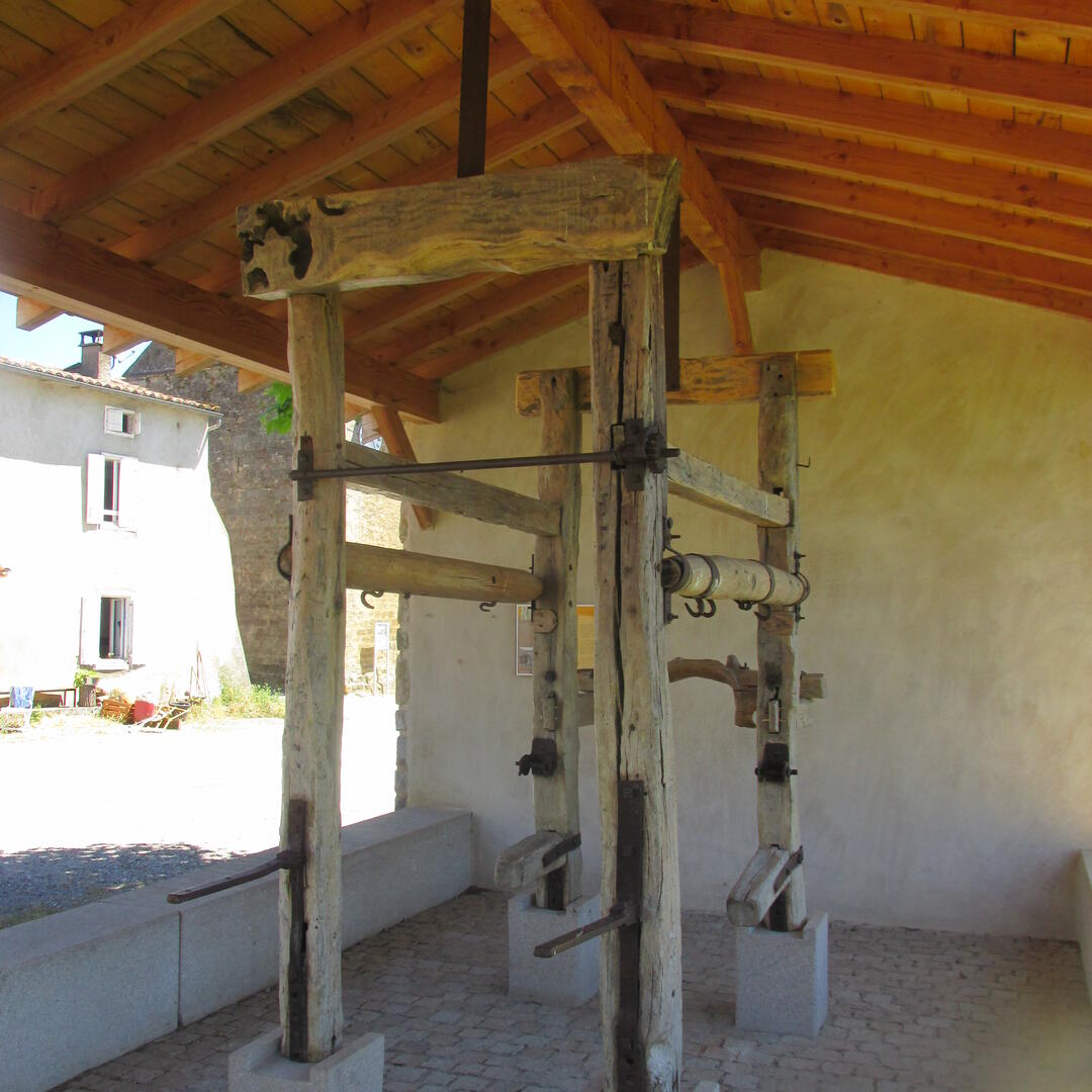
10- In Limbrassac, you’ll pass a restored water mill before reaching the starting point again.
2- On the road, turn right, cross the bridge, and continue straight towards Mirepoix.
3- At the village exit, take the dirt road to the left, called Chemin des Vignasses, for about 2 km.
4- Turn right at the intersection with the road, then right again just before the hamlet of Cartiès.
5- Follow the main path that goes uphill and then downhill toward Saint-Julien de Gras Capou.
6- In the village, turn right onto the descending road. At the intersection, turn left towards Mirepoix for just over 600 meters.
7- Leave the road and take the steep path uphill on your right. After about 400 meters, take the path to the right that leads to Troye d’Ariège.
8- In Troye, keep going straight, due south. You’ll pass a calvary, the path to the Laouzado spring, and a small airfield before reaching the hamlet of St-Paul about 2 km further.
9- In St-Paul, turn right to rejoin the road, passing through the hamlet of Gabach on the way back to Limbrassac.
10- In Limbrassac, you’ll pass a restored water mill before reaching the starting point again.