Chemin de Mireval
Sport, Pedestrian sports, Hiking itinerary
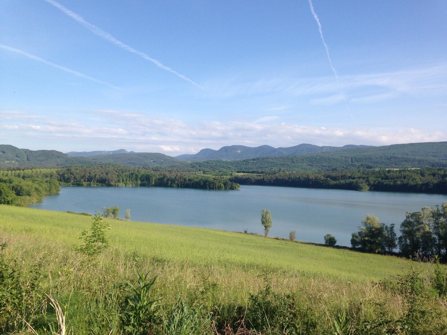
in Le Peyrat
5.7
km
1h 30min
Easy
- Departure
- Le Peyrat
-
-
Difference in height
- 118 m
-
-
-
Plain text period
- All year round daily.
-
-
-
Environment
-
-
-
Spoken languages
-
-
-
-
-
Documentation
- GPX / KML files allow you to export the trail of your hike to your GPS (or other navigation tool)
-
- 118 meters of difference in height
-
- Maximum altitude : 529 m
- Minimum altitude : 414 m
- Total positive elevation : 118 m
- Total negative elevation : -121 m
- Max positive elevation : 108 m
- Min positive elevation : -8 m
Services
-
-
Services
-