Guidebook with maps/step-by-step
1- Turn left onto the road towards Mirepoix to reach the start of the trail. Follow the yellow waymarks to the right, leading to a stream you’ll cross before continuing on a path that rises through meadows. The path comes out onto a road — follow it to the left towards the hamlet of Francilles.
2- At the entrance of the hamlet, continue straight along the trail that descends between two hills. It will eventually cross a stream via a ford, just before reaching the hamlet of Montcabirol.
3- In Montcabirol, turn right onto the D307. Stay on the road, crossing a first and then a second ford. Then turn right onto a dirt path leading to Besset.
4- Upon arriving in Besset, do not cross the D119. Instead, turn left onto the D13, in the direction of Senesse de Sénabugue, and pass the large garages on your left. Leave the road and follow the yellow waymarks to the right. Here begins the ascent that will take you near Estelle Peak, starting with a steep climb leading to a wild boar enclosure.
5- The ascent continues to the left, passing near Estelle Peak, where you’ll enjoy a stunning view of the Pyrenees.
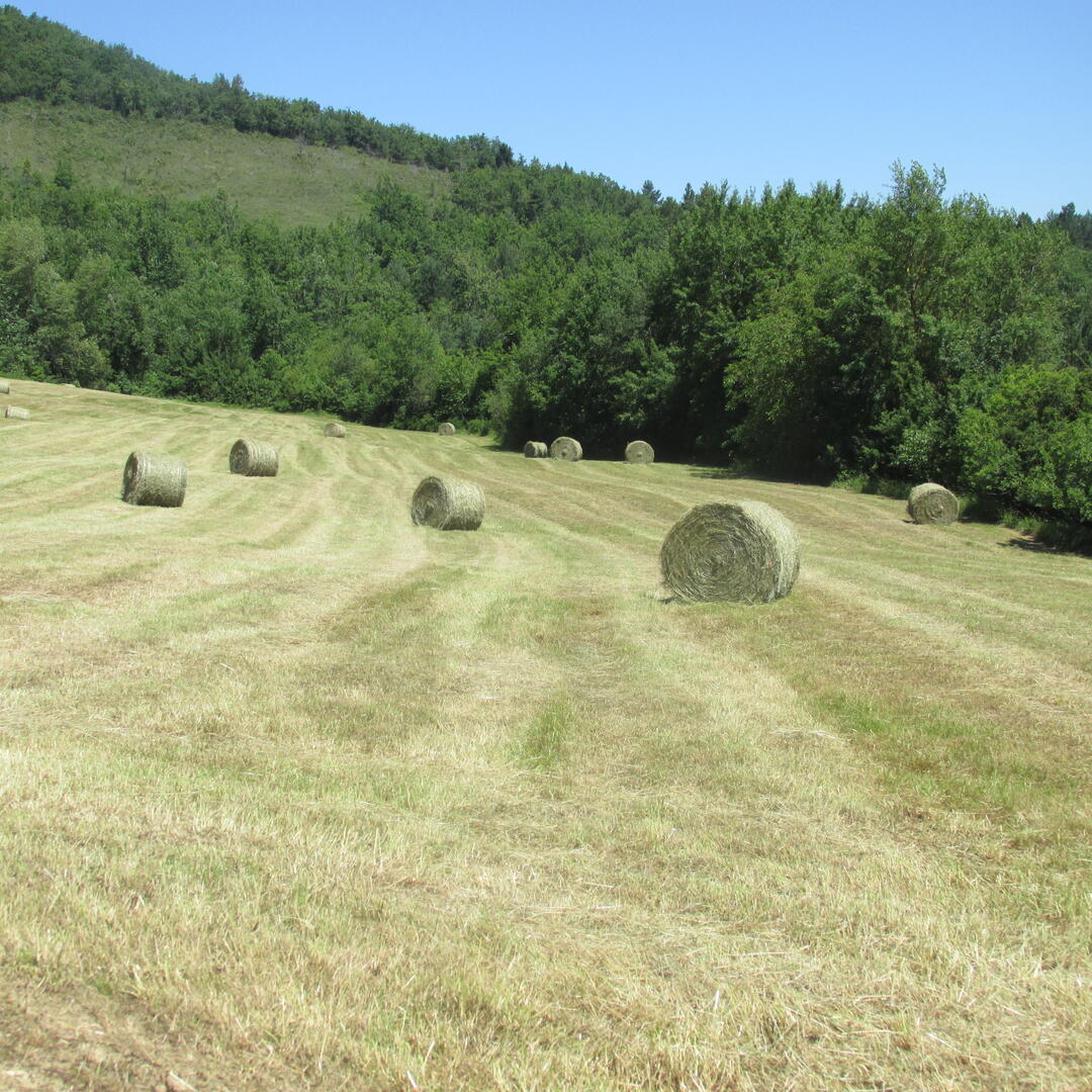
6- The path then descends to the right through meadows and small woods towards the Lardy farm.
7- Walk through Lardy along the road, continuing to the right until you pass a small pass near a solitary house. Then take the second wide dirt path on your left — this will lead you back to Saint-Julien, the starting point of the hike.
2- At the entrance of the hamlet, continue straight along the trail that descends between two hills. It will eventually cross a stream via a ford, just before reaching the hamlet of Montcabirol.
3- In Montcabirol, turn right onto the D307. Stay on the road, crossing a first and then a second ford. Then turn right onto a dirt path leading to Besset.
4- Upon arriving in Besset, do not cross the D119. Instead, turn left onto the D13, in the direction of Senesse de Sénabugue, and pass the large garages on your left. Leave the road and follow the yellow waymarks to the right. Here begins the ascent that will take you near Estelle Peak, starting with a steep climb leading to a wild boar enclosure.
5- The ascent continues to the left, passing near Estelle Peak, where you’ll enjoy a stunning view of the Pyrenees.
6- The path then descends to the right through meadows and small woods towards the Lardy farm.
7- Walk through Lardy along the road, continuing to the right until you pass a small pass near a solitary house. Then take the second wide dirt path on your left — this will lead you back to Saint-Julien, the starting point of the hike.