Guidebook with maps/step-by-step
Start: Fontestorbes spring parking (Latitude: 42.89272° / Longitude: 1.92697°)
1 - From the spring parking, walk along the road towards Bélesta (D9) for about 100m. Leave the road and go up the path on the right (yellow markings).
2 - Cross the Mayne bridge, then go right onto a track heading to Rieufourcant.
3 - Go through the hamlet of Rieufourcant, then at the place called "Couquet", take the path on the right just outside the hamlet. It leads to the place known as "le château", about 1 hour walk.
4 - At le château, carefully cross the D16 road to follow the forest road towards “Caillol d’en Haut” (20 min).
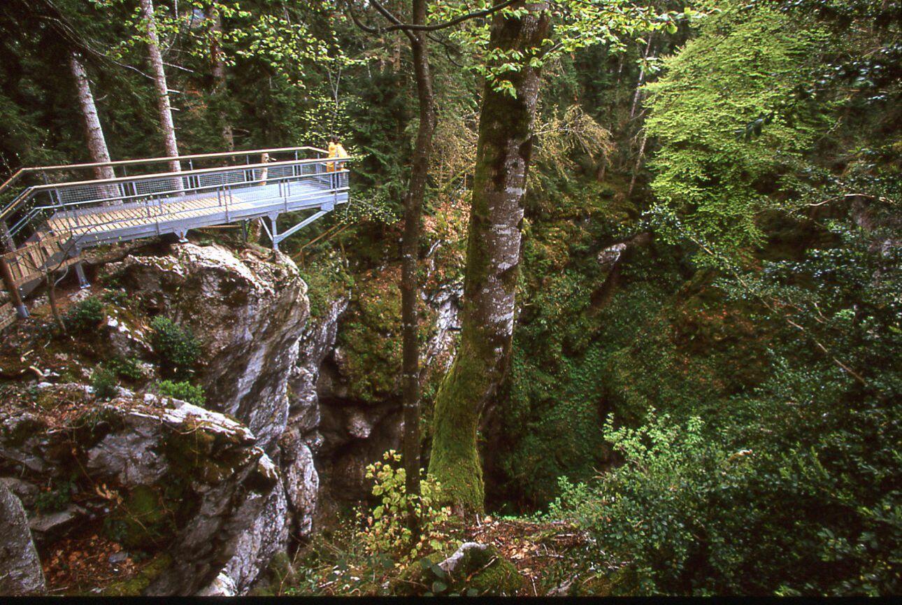
5 - Cross the hamlet and continue uphill on the right to reach the hamlet of Le Gélat (on your left, don’t miss the Corbeaux Chasm, with its footbridge). Around 35 min.
6 - From Le Gélat, head down the small road to the junction with the forest road and go up to the Bois Joli area. Around 35 min.
7 - From Bois Joli, reach the TV relay via the forest path (35 min), then descend to Bélesta (yellow and red waymarkings). (See hike 7: Croix de Millet)
1 - From the spring parking, walk along the road towards Bélesta (D9) for about 100m. Leave the road and go up the path on the right (yellow markings).
2 - Cross the Mayne bridge, then go right onto a track heading to Rieufourcant.
3 - Go through the hamlet of Rieufourcant, then at the place called "Couquet", take the path on the right just outside the hamlet. It leads to the place known as "le château", about 1 hour walk.
4 - At le château, carefully cross the D16 road to follow the forest road towards “Caillol d’en Haut” (20 min).
5 - Cross the hamlet and continue uphill on the right to reach the hamlet of Le Gélat (on your left, don’t miss the Corbeaux Chasm, with its footbridge). Around 35 min.
6 - From Le Gélat, head down the small road to the junction with the forest road and go up to the Bois Joli area. Around 35 min.
7 - From Bois Joli, reach the TV relay via the forest path (35 min), then descend to Bélesta (yellow and red waymarkings). (See hike 7: Croix de Millet)