Les crêtes du Plantaurel
Sport, Pedestrian sports, Hiking itinerary
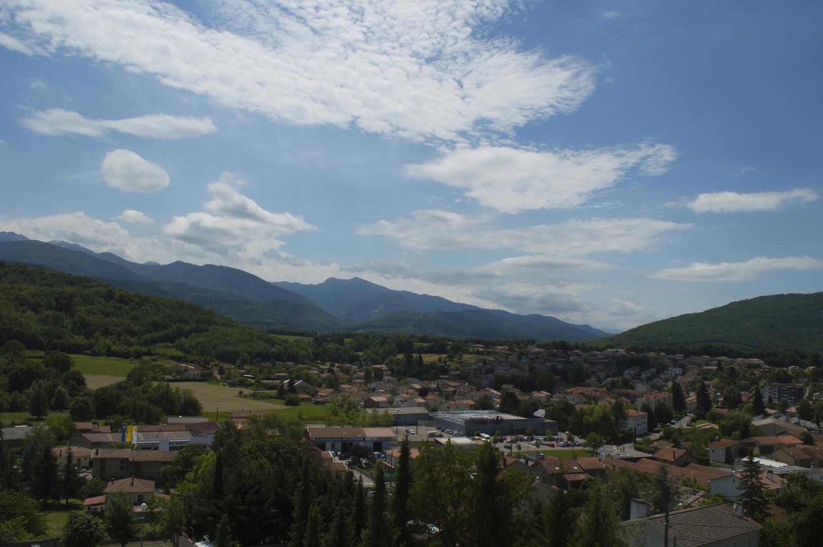
in Lavelanet
11.4
km
3h
Easy
- Departure
- Lavelanet
-
-
Difference in height
- 420.667 m
-
-
-
Plain text period
- All year round daily.
-
-
-
Environment
-
-
-
Spoken languages
-
-
-
-
-
Documentation
- GPX / KML files allow you to export the trail of your hike to your GPS (or other navigation tool)
-
- 421 meters of difference in height
-
- Maximum altitude : 823 m
- Minimum altitude : 474 m
- Total positive elevation : 421 m
- Total negative elevation : -421 m
- Max positive elevation : 287 m
- Min positive elevation : -247 m