sentier les coteaux

The hillsides

Sport, Pedestrian sports, Hiking itinerary in Lieurac
4.6 km
2h
Easy
  • A gentle family walk that passes through the village of Le Sautel, where you can admire a centuries-old oak tree near the church door.

  • The village of Le Sautel consists of four hamlets located quite far apart from each other: Fouet, Le Fajou, Le Gréoulou and Le Sautel. In 1906, the municipality decided to launch a plan to build fountains and wash houses in each of them in order to supply water despite their remoteness. These routes are an alternative way to connect the GR du Pays d'Olmes to the Douctouyre valley. At the confluence of the Douctouyre and the Sautel stream, perched atop a circular hill, the village of Lieurac...
    The village of Le Sautel consists of four hamlets located quite far apart from each other: Fouet, Le Fajou, Le Gréoulou and Le Sautel. In 1906, the municipality decided to launch a plan to build fountains and wash houses in each of them in order to supply water despite their remoteness. These routes are an alternative way to connect the GR du Pays d'Olmes to the Douctouyre valley. At the confluence of the Douctouyre and the Sautel stream, perched atop a circular hill, the village of Lieurac seems to follow its own construction, on which the current houses are built.

    Sights to see: The church, the Juncas cross
  • Guidebook with maps/step-by-step
    1 - Take the D12 towards ‘Taychel’ and at ‘Couloumié’ turn right onto a track that leads to the water reservoir (1 km). Then follow the ridge path, which climbs slightly for 1.8 km.
    2 - At the crossroads, turn right down towards Le Sautel (900 m).
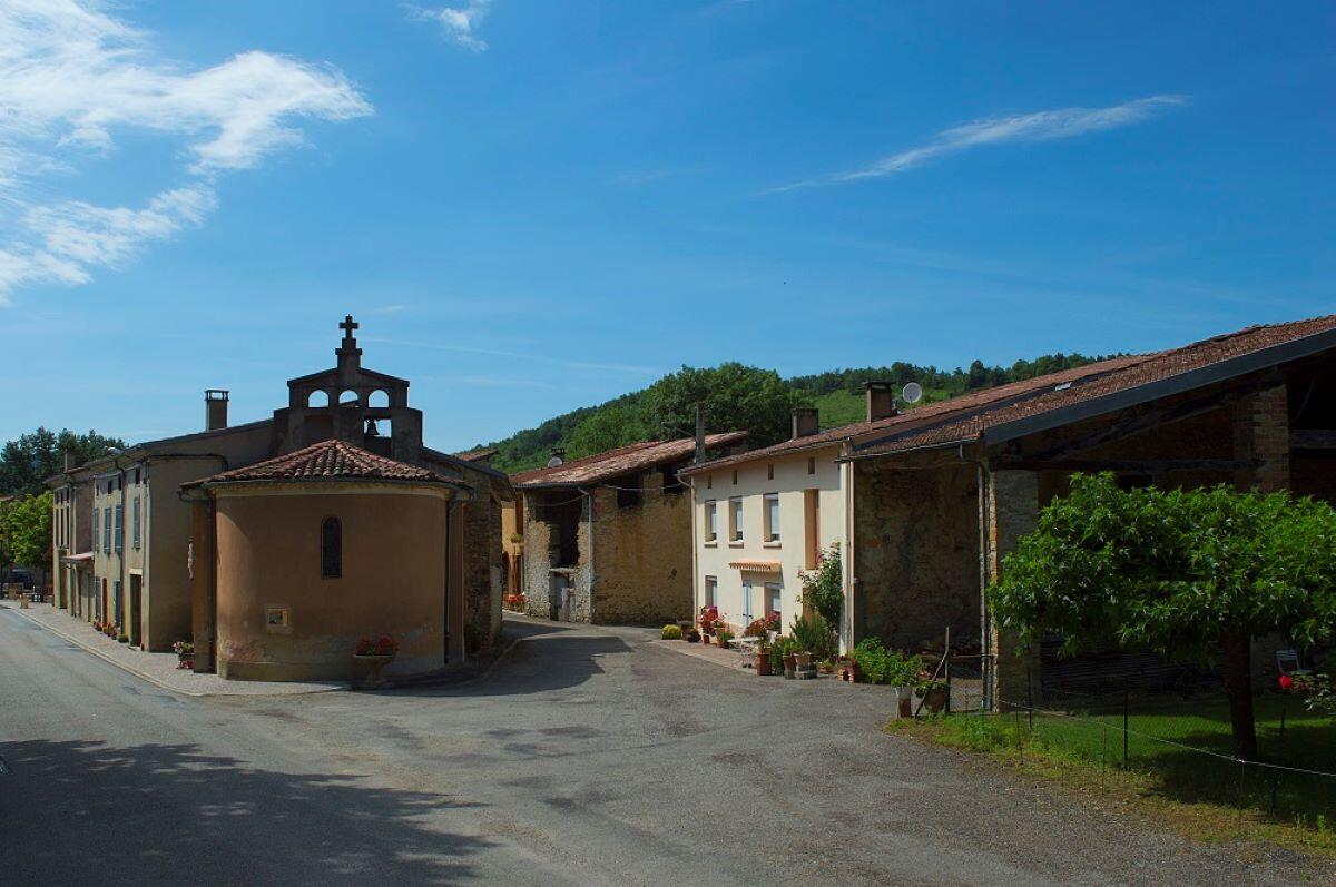
    3 - In the village, admire the church, then cross the D1 and take the small road opposite that climbs towards the hamlet of Fajou (1 km).
    4 - Pass the church of Saint Jean and turn right onto a forest track until you reach the Juncas cross.
    5 - Return via the same route.
  • Departure
    Lieurac
  • Difference in height
    286.333 m
  • Plain text period
    All year round daily.
  • Environment
    • In the country
    • Forest location
  • Spoken languages
    • French
  • Documentation
    GPX / KML files allow you to export the trail of your hike to your GPS (or other navigation tool)
286 meters of difference in height
  • Maximum altitude : 568 m
  • Minimum altitude : 363 m
  • Total positive elevation : 286 m
  • Total negative elevation : -103 m
  • Max positive elevation : 172 m
  • Min positive elevation : -83 m