Guidebook with maps/step-by-step
1- Take the D625 towards Villefranche de Lauragais and turn right at the first intersection. Follow the road for 100 metres, then continue right towards the hamlet of Bartas. At the bend, leave the road and follow the red and white GR7 markers, which will take you to the Croix de Terride.
2- At the Croix de Terride, leave the GR7 markers and follow the yellow markers on the left along the farm track to the foot of a wooded hill where it begins. Take the time to admire the view of the Pyrenees, and in particular the Tabe massif, the first visible peak.
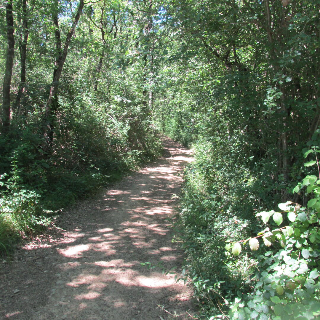
3- After climbing into the undergrowth, follow the path that descends to the left, still in the undergrowth.
4- The path goes around a pine forest and a small lake before running alongside the Estrique stream, located about a hundred metres below. The path will lead to the D106 road climbing up to the hamlet of Saint-Aulin, which you can already see.
5- At the intersection with the road, do not climb up to Saint-Aulin, but take the road on the left to reach the hamlet of Bartas, then the starting point located about 2.5 km away.
2- At the Croix de Terride, leave the GR7 markers and follow the yellow markers on the left along the farm track to the foot of a wooded hill where it begins. Take the time to admire the view of the Pyrenees, and in particular the Tabe massif, the first visible peak.
3- After climbing into the undergrowth, follow the path that descends to the left, still in the undergrowth.
4- The path goes around a pine forest and a small lake before running alongside the Estrique stream, located about a hundred metres below. The path will lead to the D106 road climbing up to the hamlet of Saint-Aulin, which you can already see.
5- At the intersection with the road, do not climb up to Saint-Aulin, but take the road on the left to reach the hamlet of Bartas, then the starting point located about 2.5 km away.