Guidebook with maps/step-by-step
Departure:
1 - From the village square, follow the road for 250 metres towards Lescure/Lapenne.
2 - Turn right at the site sign and follow the path for 550 metres.
3 - Turn right between the two stones, then continue for 50 metres before turning left.
4 - Go through the gate and continue straight ahead before turning right at the two trees and continuing for 50 metres.
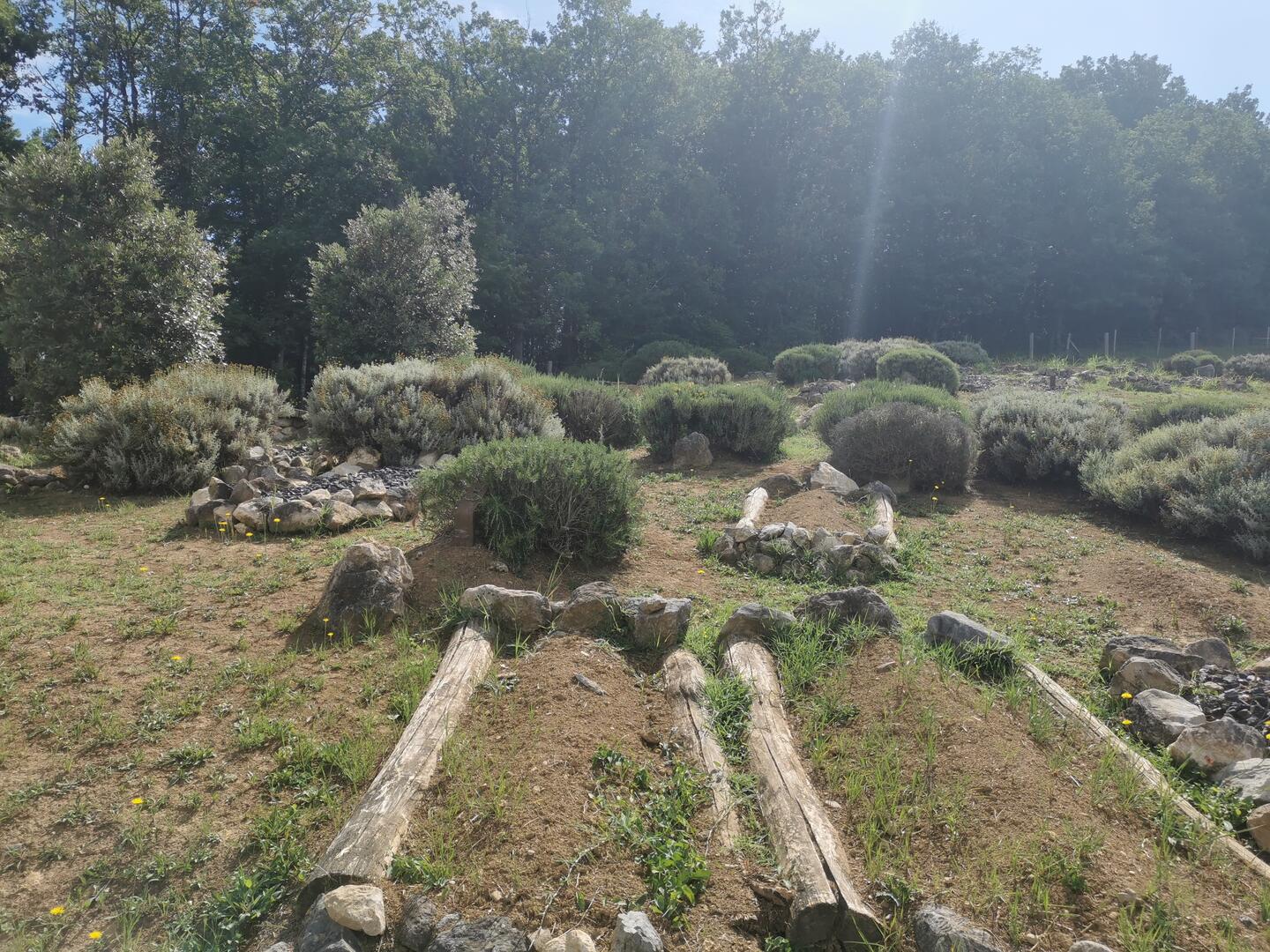
5 - Turn left and go through the gate to arrive at the Tabariane site.
6 - At the exit of the site through the large gate, turn right at the second path.
7 - Continue on this path for about 650 metres.
8 - When you reach the junction with the GR78, turn right.
9 - Follow the GR78 markings until you reach the Tabariane loop sign and the first houses, then turn right until you reach the village square
10 - You have arrived!
1 - From the village square, follow the road for 250 metres towards Lescure/Lapenne.
2 - Turn right at the site sign and follow the path for 550 metres.
3 - Turn right between the two stones, then continue for 50 metres before turning left.
4 - Go through the gate and continue straight ahead before turning right at the two trees and continuing for 50 metres.
5 - Turn left and go through the gate to arrive at the Tabariane site.
6 - At the exit of the site through the large gate, turn right at the second path.
7 - Continue on this path for about 650 metres.
8 - When you reach the junction with the GR78, turn right.
9 - Follow the GR78 markings until you reach the Tabariane loop sign and the first houses, then turn right until you reach the village square
10 - You have arrived!