Rechercher
en
Official website of the Office de Tourisme des Pyrénées Cathares
Discover
IMG_5669
©
IMG_5669
Le pays parfait
A la découverte des Pyrénées Cathares
ADT09_0006724_MD (1)
©
ADT09_0006724_MD (1)
Sites and Panoramas
Let yourself be dazzled
ADT09_0006931_MD
©
ADT09_0006931_MD
On the road to the Castles
The trace of history
village 14
©
village 14
Simple and authentic
The soul of our villages
croustade
©
croustade
In search of happiness
Gourmets and gourmands
pottery 1
©
pottery 1
Making Art shine
The craftsman's hand
What to do
sdr_HDRB
©
sdr_HDRB
Activities and hobbies
Mont Fourcat hike (3)
©
Mont Fourcat hike (3)
A hike? On foot or by bike
IMG_20200713_113732
©
IMG_20200713_113732
The markets
photo bamboo 2
©
photo bamboo 2
Museums, parks and gardens
Vgmirepoix Charlesripon 28
©
Vgmirepoix Charlesripon 28
Our guided tours
Photo 2021 11 03 08 53 11
©
Photo 2021 11 03 08 53 11
Family activities
Experiences
Stay
Where to sleep ?
Unusual accommodation
Hotels
Gites and furniture
Bed and Breakfast
Campsites
Group accommodation
Where to eat ?
Restaurants
Fast food
Bar and tea room
Organize yourself
Office de tourisme des Pyrenees Cathares – EN
Our brochures
Close to home
Business tourism
All accommodations
All restaurants
How to get here - EN
Agenda
IMG_20200713_113732
©
IMG_20200713_113732
The markets
225768426_4489701157718773_4404471406593137823_n
©
225768426_4489701157718773_4404471406593137823_n
This week
Swing Mirepoix
©
Swing Mirepoix
The must-sees
All the agenda
Back to the list
Call
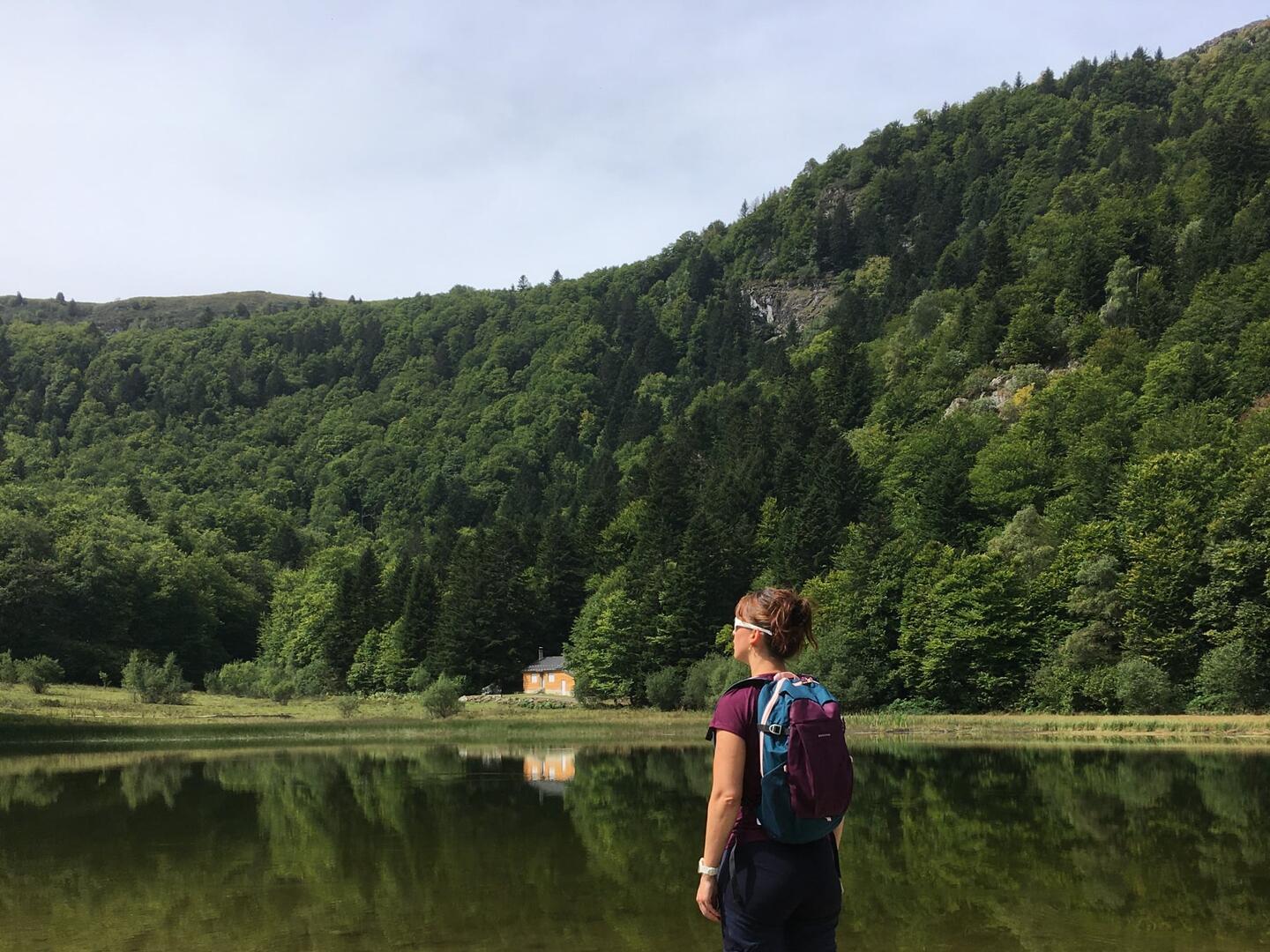
Étang de Moulzoune
Sport,
Pedestrian sports,
Hiking itinerary
in Montferrier
Download
Difference in height
Provider
Download
Difference in height
Provider
Warning: Unsecured hours
14.5
km
6h
Hard
Departure
Montferrier
Difference in height
989 m
Plain text period
All year round daily.
Environment
Mountain location
20 - 30 min from a train station by car
Spoken languages
Documentation
étang de Moulzoune
étang de Moulzoune
GPX / KML files allow you to export the trail of your hike to your GPS (or other navigation tool)
989 meters of difference in height
Maximum altitude :
1621 m
Minimum altitude :
722 m
Total positive elevation :
989 m
Total negative elevation :
-989 m
Max positive elevation :
816 m
Min positive elevation :
-434 m
From
1
January
until
31
December
Aire de pique-nique à l'étang de Moulzoune
Montferrier
×
Sélectionnez les options d'impression …
Imprimer le titre et la description
Imprimer les étapes
Imprimer les points d'intérêts
Imprimer les photos des points d'intérêts
Imprimer le graphique de dénivelé
Imprimer la carte
from
.
€
.
.
.
.
.
.
.
Close
English
Français
Español
Close
×