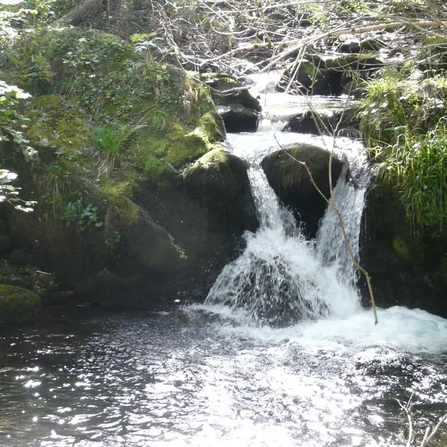
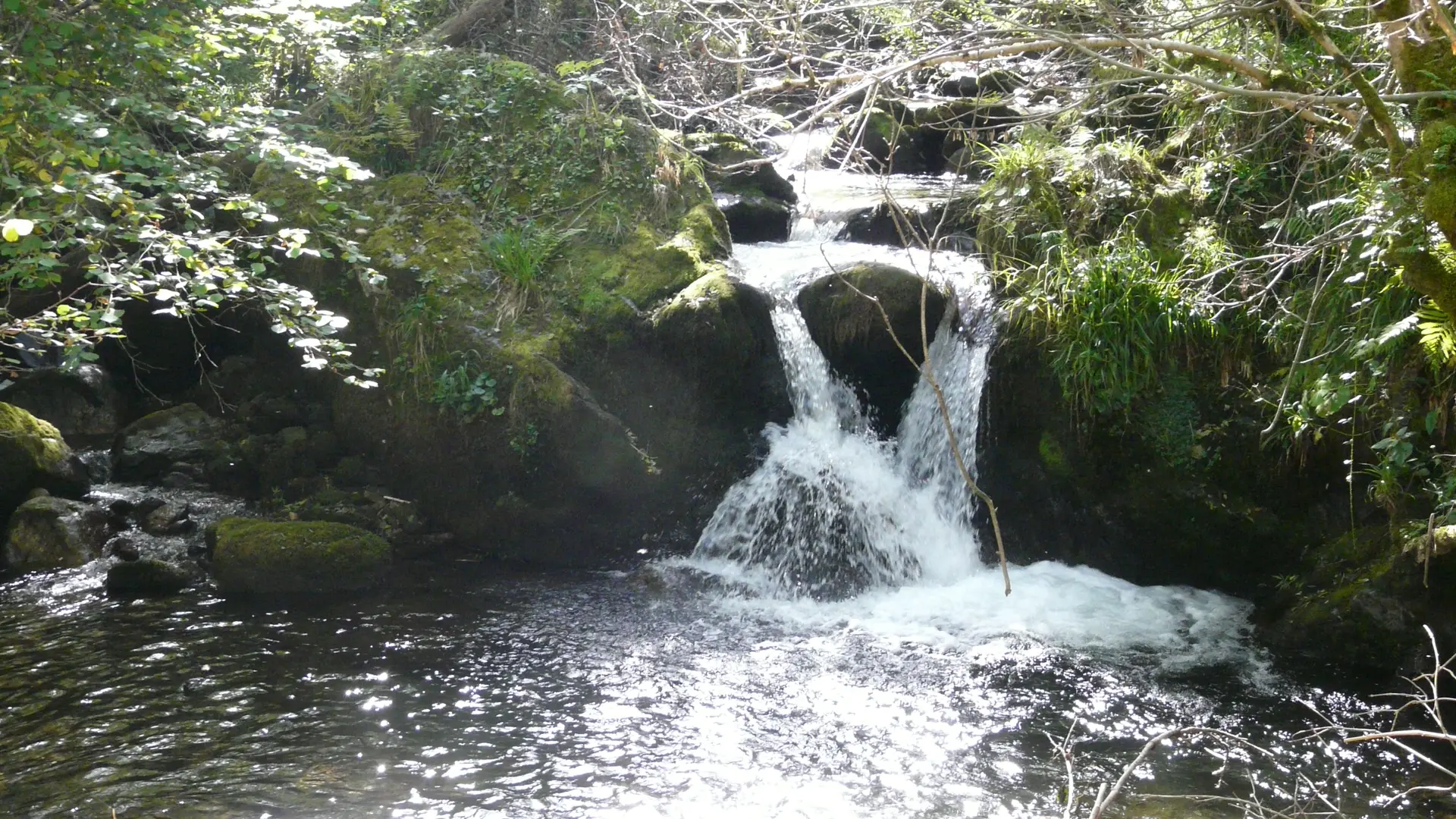
Guidebook with maps/step-by-step
1 - Departure from the wash house
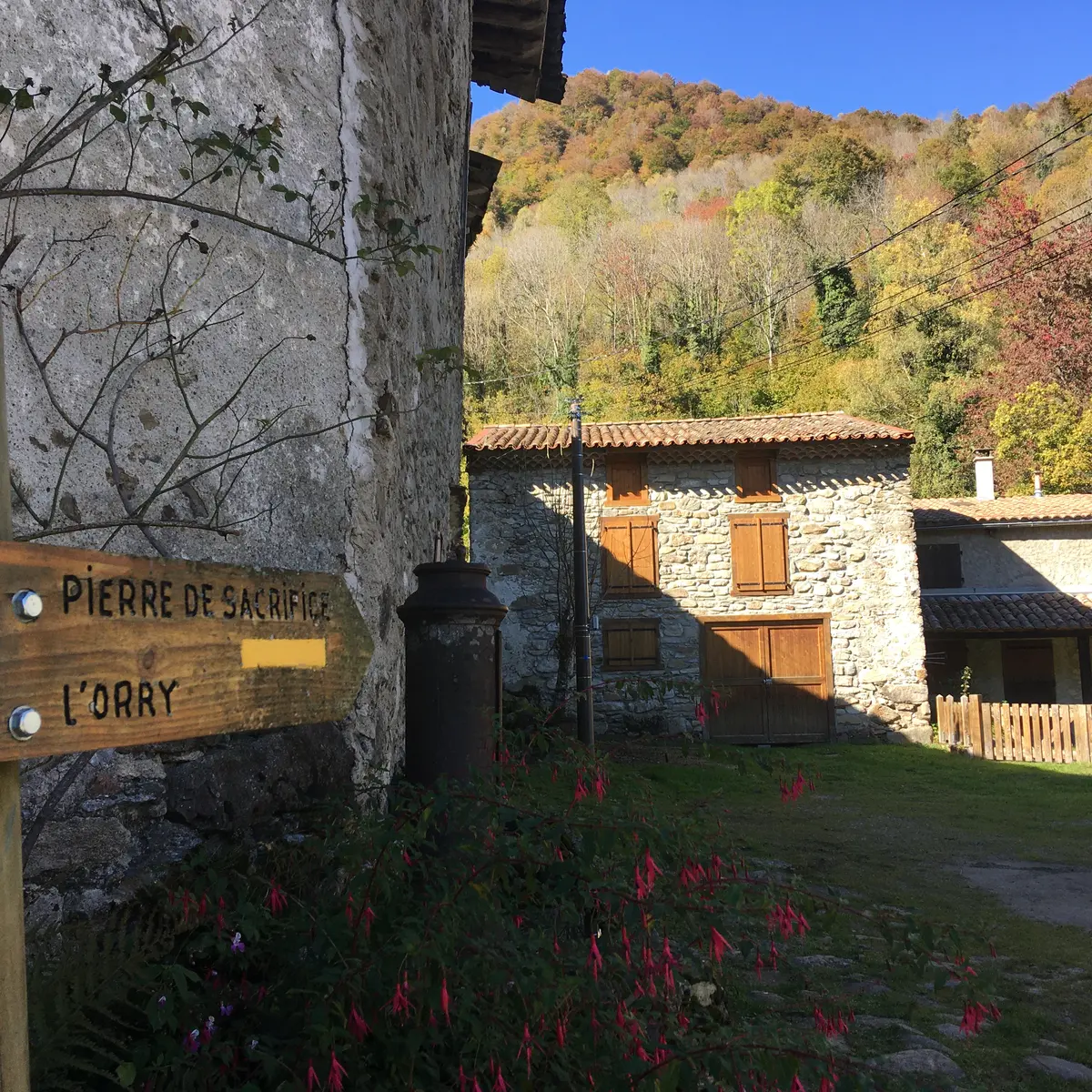
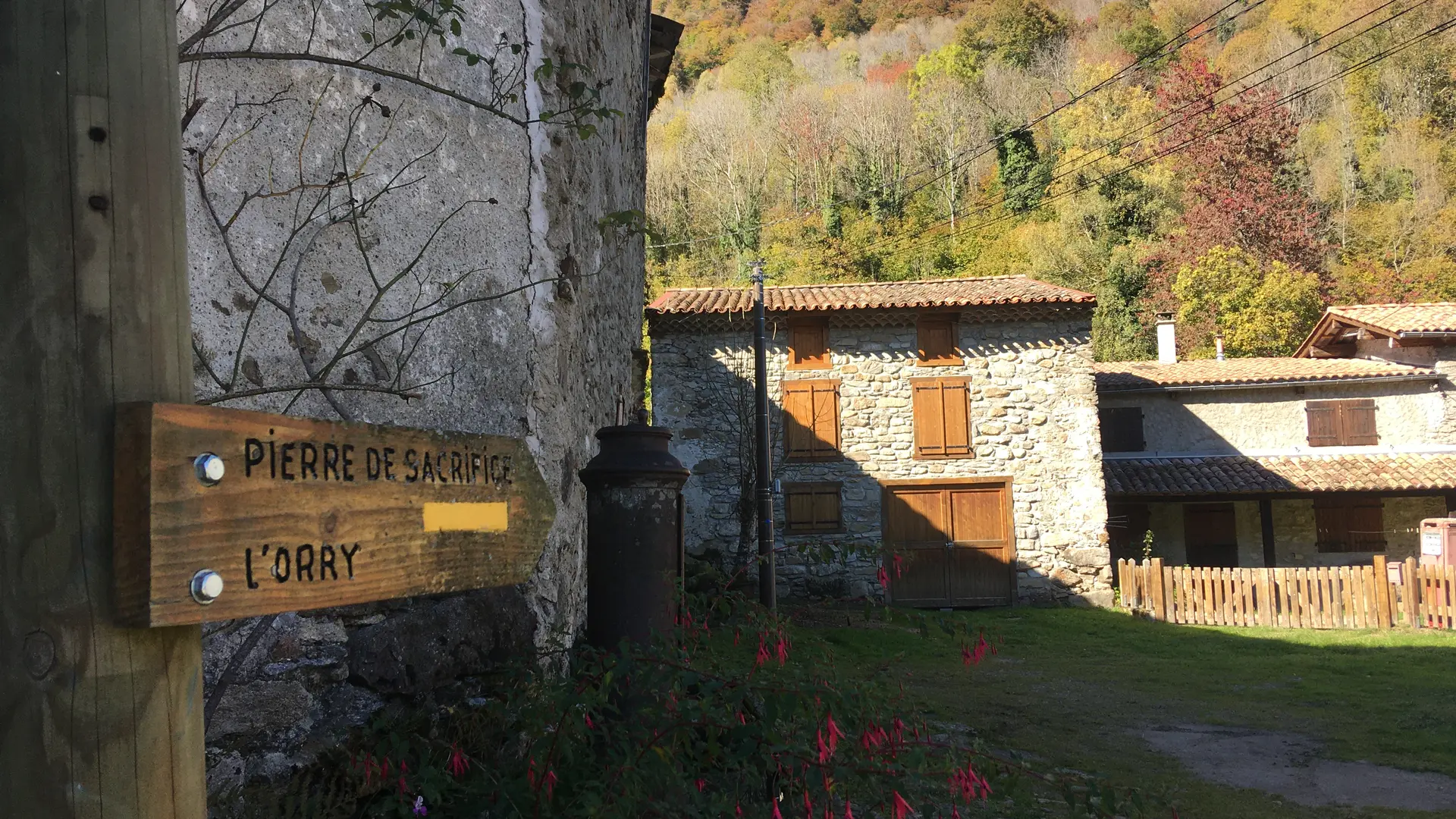
2 - Retrace your steps for 200 metres and turn left towards La Peyregade. You can return to the starting point by crossing the hamlet or continue by turning left until you reach ‘La Pierre de Sacrifice’ (the Sacrifice Stone).
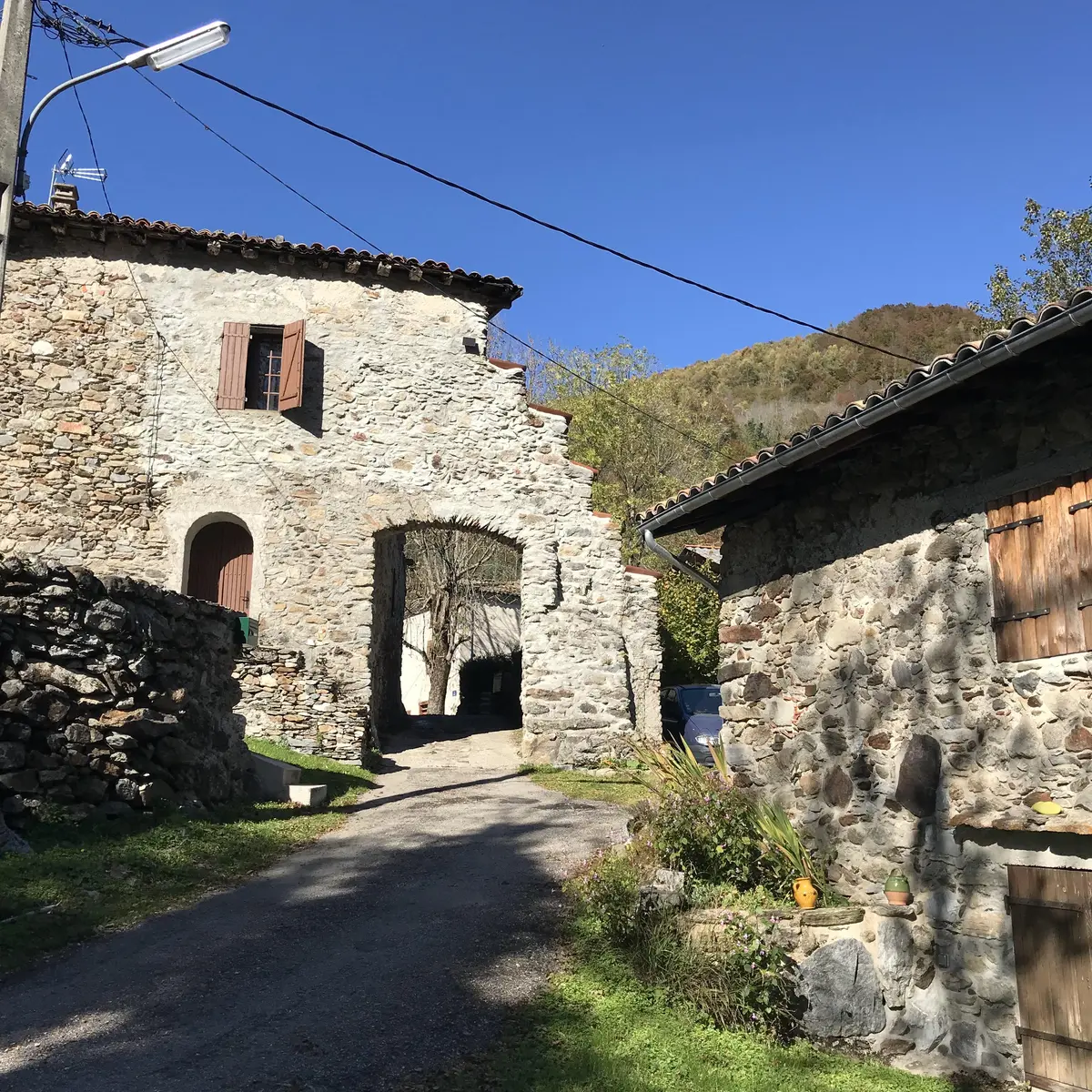
3 - You can return via the same route or climb up to the ruined hamlet of ‘Pla del Tour’ and descend via a path parallel to the one you took on the way up.