Randonnée du Saint Barthélémy

Pic du Saint-Barthelemy

Sport, Pedestrian sports, Hiking itinerary in Montferrier
15.1 km
6h 30min
Hard
  • This hiking route takes you to the highest point of the Tabe Massif. It is the best known of the peaks, with three lakes : lac des truites, du diable and lac supérieur.

  • The Pic du Saint-Barthélemy is one of those emblematic summits that you have to climb at least once in your life to appreciate the absolutely breathtaking 360° panorama. It is undoubtedly one of the most beautiful viewpoints in the Pyrenees, offering an uninterrupted view of the entire eastern Pyrenees and the Ariège plain from the summit. Although at a modest altitude of 2348m, the Saint-Barthélémy peak is nonetheless a magnificent rendezvous that every hiker will want to climb. The route...
    The Pic du Saint-Barthélemy is one of those emblematic summits that you have to climb at least once in your life to appreciate the absolutely breathtaking 360° panorama. It is undoubtedly one of the most beautiful viewpoints in the Pyrenees, offering an uninterrupted view of the entire eastern Pyrenees and the Ariège plain from the summit. Although at a modest altitude of 2348m, the Saint-Barthélémy peak is nonetheless a magnificent rendezvous that every hiker will want to climb. The route proposed here, although quite long, is of moderate difficulty in the absence of snow.

    The Pic du Saint Barthélémy is the highest peak in the Tabe massif, surrounded by peaks such as Soularac, Galinat, Mont Fourcat and Pic du Han, as well as numerous lakes. This Pyrenean peak is also associated with fantastic legends and stories.
  • Guidebook with maps/step-by-step
    1 - When you arrive at the car park, take the path uphill signposted Pic St Barthélemy, which leads to the Atlantic salmon breeding pond (please note: swimming and fishing are prohibited).
    2 - Go around the pond on the left, following the track through the beech forest.
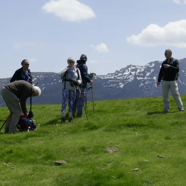
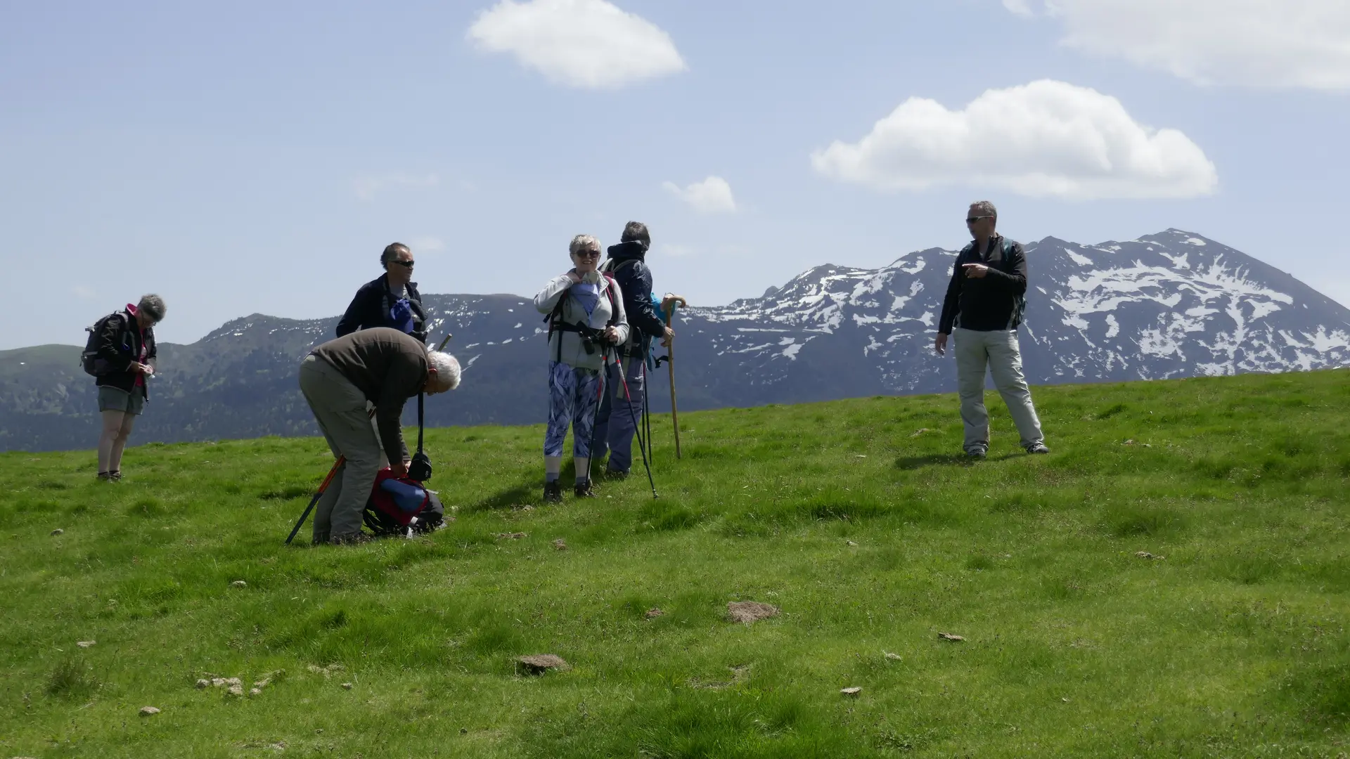
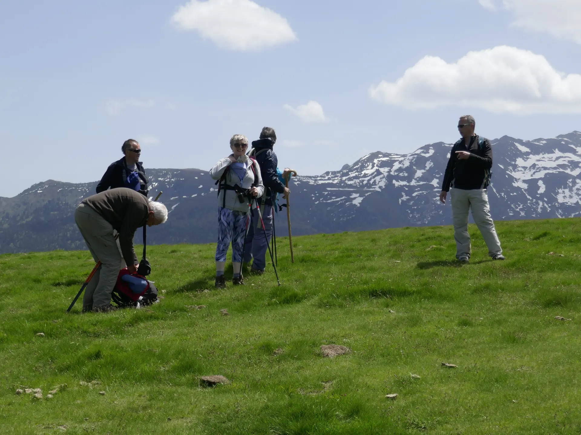
    3 - Continue climbing until you reach the old barracks of the talc quarry, pass them and climb through the forest to the ridges (Monts d'Olmes viewpoint). (Yellow signposts).
    4 - Follow the ridge to the left until you reach the post, then turn right towards the summit.
    5 - At the crossroads, turn left and descend towards the scree.
    6 - Climb under the stone pines until you reach the Trout Pond.
    7 - Turn left and climb again among the stone pines and then over the scree.
    8 - At the junction with the GR del Macizo de Tabe, turn right (yellow and red signs). Caution: wet area
    9 - Skirt around the Diablo pond from a distance. Once past the pond, keep to the left and approach the snowfields below the Soularac peak.
    10 - Climb up a small chimney that leads just below the upper ponds, which you will go around on the right.
    11 - Climb up to the Trou de L'Ours pass and finish the ascent to Saint-Barthélemy peak via the fairly steep ridge. You can choose to descend via the same route or via the ridges to the north until you find the path you took on the way up, always following the ridge. Descend to the car park.
    Variation: There is a variation for the ascent: leave the D909 directly, 2 km after the track junction. Climb through the forest, pass the Orri forest house, continue through the forest and, once at the edge, turn left to climb the ridges.
  • Departure
    Montferrier
  • Difference in height
    1030.31 m
  • Plain text period
    All year round daily.
  • Environment
    • Mountain location
    • In a nature reserve
  • Spoken languages
    • French
  • Documentation
    GPX / KML files allow you to export the trail of your hike to your GPS (or other navigation tool)
1030 meters of difference in height
  • Maximum altitude : 2268 m
  • Minimum altitude : 1319 m
  • Total positive elevation : 1030 m
  • Total negative elevation : -1030 m
  • Max positive elevation : 308 m
  • Min positive elevation : -571 m